Navigational Chart
- Navigational Chart
- Marshall Islands
- 20th to mid-20th century
- Unidentified Artist, Pacific Islander
- Bamboo, Cowrie Shells, Twine
- MFA

Navigational Chart (Not a Pat Flan Pic)
The Marshall Island Navigational Charts are amazing. The inhabitants of the Marshall Island were a seagoing people and would explore and travel in multi-hulled outriggers.
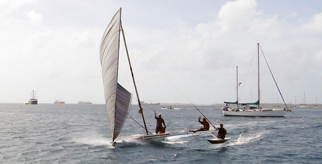
Outrigger (Not a Pat Flan Pic)
Due to their seagoing nature, navigational maps were critical to the people of the Marshall Islands. The maps were made from a combination of bamboo, shells, and twine. A bent stick on these maps would indicate a wave formation (mostlikely such as an area of shoals that would ground boats), while a shell would indicate the location of an Island.
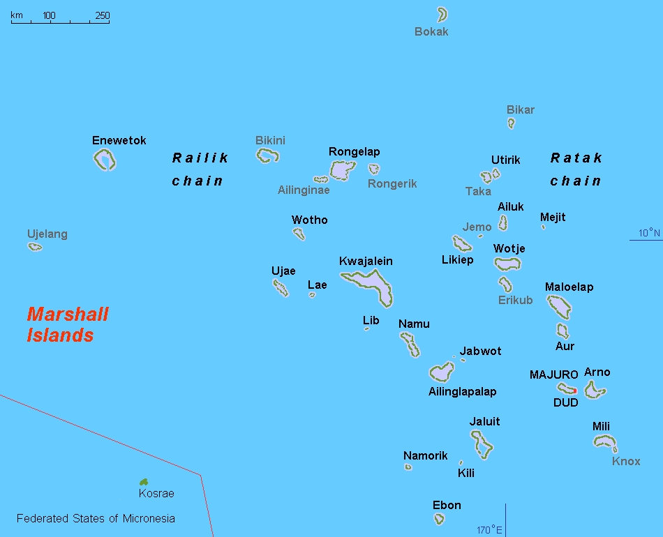
Map of the Marshall Islands (Not a Pat Flan Pic)
The distances these people covered in their outrigger canoes was truly amazing. To travel distances upwards of five hundred miles between islands using those navigational charts as maps shows the Pacific Islanders skill at handling these boats and comprehending these maps. These maps were functional pieces of art; they had to be robust and decisively built to withstand the long sails but plain enough to highlight just the important hazards on the journey.
Hit it! → http://www.pageorama.com/?p=paneled-room-art-piece
We use cookies and 3rd party services to recognize visitors, target ads and analyze site traffic.
By using this site you agree to this Privacy Policy. Learn how to clear cookies here
By using this site you agree to this Privacy Policy. Learn how to clear cookies here
토토사이트 검증 Лучший Чекер Логов 40$ за ВСЁ Barron Trump: Der schüchterne, aber intelligente Sohn von Donald Trump Ethelrine Chekin`s Unforgettable Journey to the Wonders of the World Ethelrine Bretones Travels to the City of Dreams: Paris Ethelrine Breitkreutz: The Woman Behind the Name The Dome of the Rock Warehouse Execution Software & Automated Picking Systems Are Empowering Businesses! Notre Dame